

Products
Products
First Order Survey Repair sells and services. we stand behind all the equipment we sell and will service all brands. These are some of the products we keep in inventory If you do not find something you're looking for, please contact us.
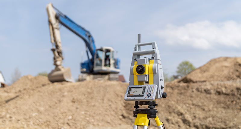
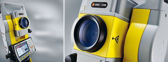
TOTAL STATIONS:
Some of the Brands we Offer
Total Stations

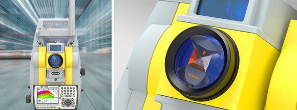
ZOOM95 SERIES
The Zoom95 is the true flagship of the GeoMax TPS portfolio. Featuring advanced STReAM360 technology, this one-person total station substantially minimizes the time of any survey task and maximizes your performance and accuracy. Combined ...More
X-POLE
By combining the advantages of both systems, the new solution significantly improves the performance and flexibility on the jobsite. The seamless integration of X-Pole into the field software allows a toggle between both measurement modes...More
ZOOM 75 SERIES
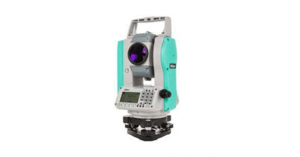
Nikon N AND K SERIES
Advanced EDM Technology: The N Series is equipped with an advanced Electronic Distance M...More
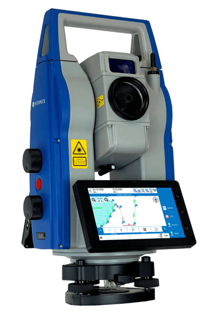
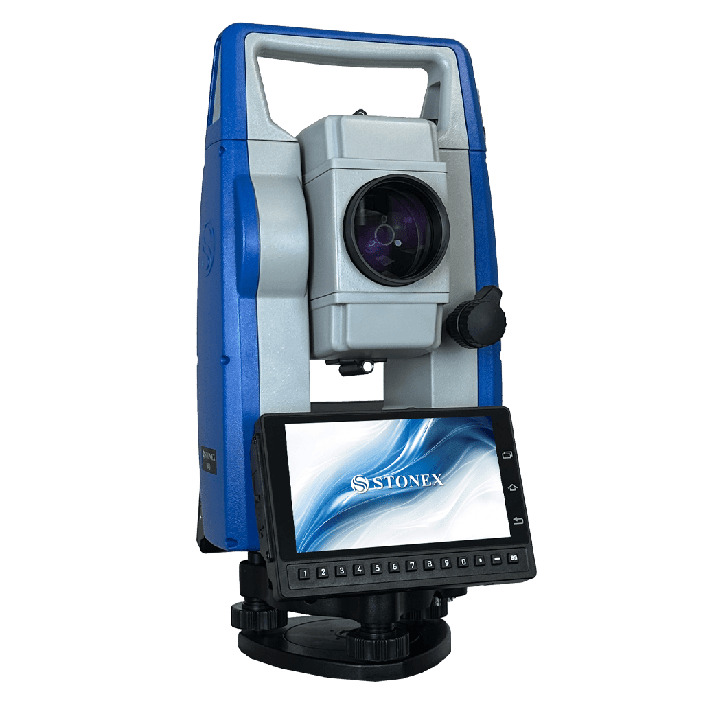
STONEX R180
The R180 is a highly accurate and fast Android robotic station. It features a rotation s...More
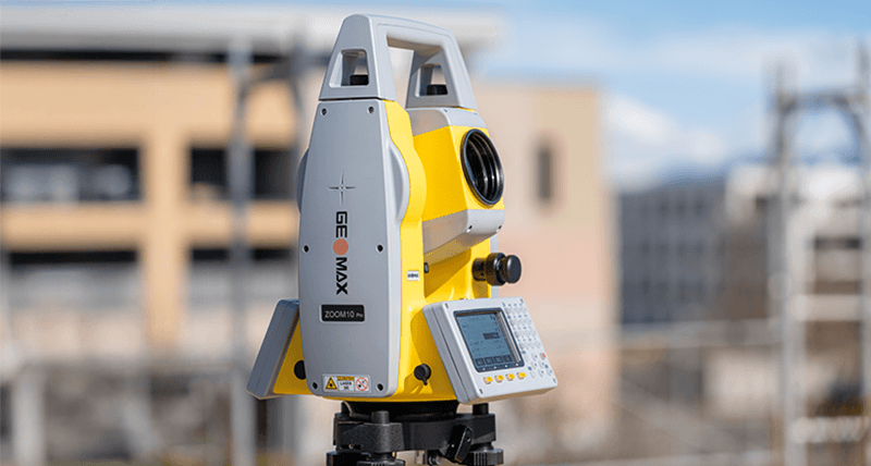
ZOOM10 PRO SERIES
The Zoom10 Pro delivers the accuracy and precision you need to work with confidence. Wit...More
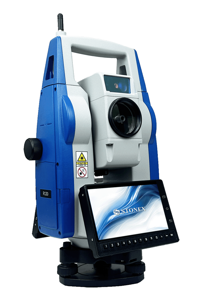
STONEX R120
R120 is a Robotic Android Total Station that provides exceptional precision with an angu...More
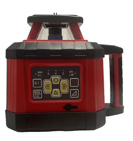
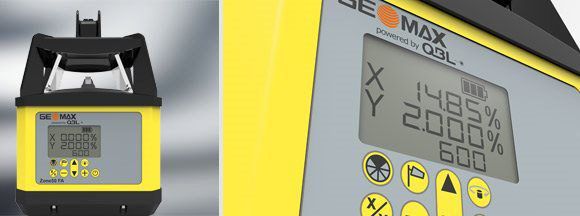
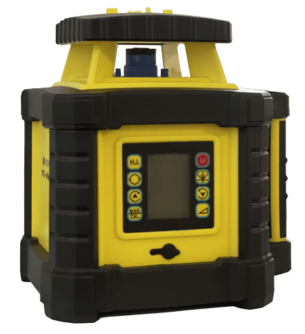
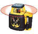
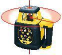
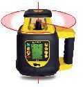
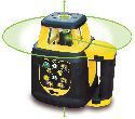
Laser Rotators:
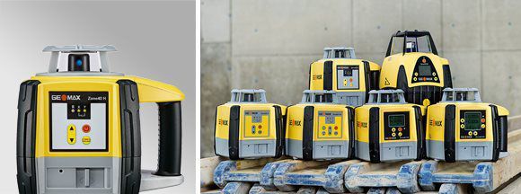
ZONE SERIES
The new and powerful GeoMax Zone laser rotators portfolio offers the right construction tools for all trades and applications. Regardless if you’re just starting in the industry dealing with the fundamentals or you’re a seasoned professio...More
STONEX STX ALPHA 131
ZONE60 DG SERIES
The powerful GeoMax Zone laser rotators portfolio offers the right construction tools for all trades and applications. Regardless if you’re just starting in the industry dealing with the fundamentals or you’re a seasoned professional hand...More
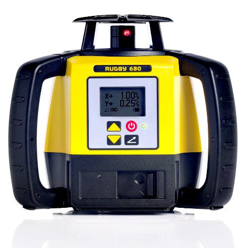
Leica Rugby lasers deliver jobsite-ready precision...More
SLR200H Horizontal Rotary Laser
SLR200HV Horizontal & Vertical Rotary Laser
SLR202GR Dual Dial-In Grade Rotary Laser
SLR200HV-G Green Beam Horizontal & Vertical Rotary Laser
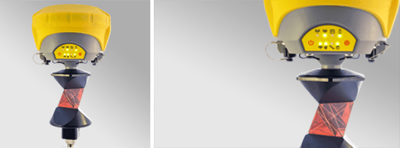
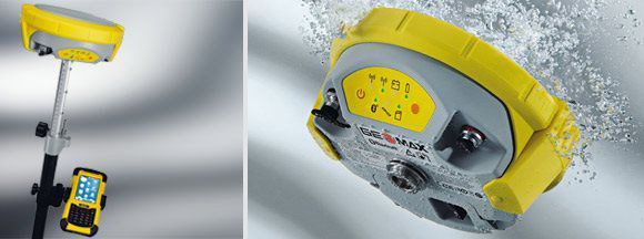
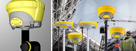
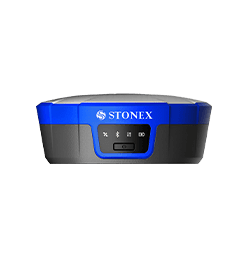
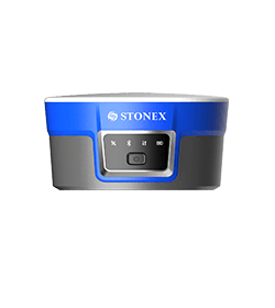
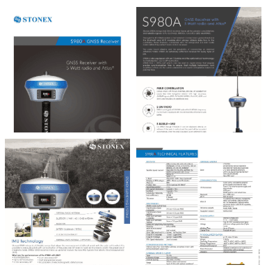
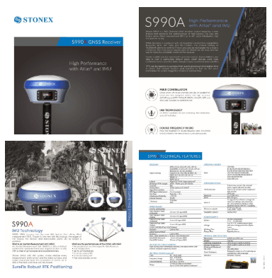
GNSS:
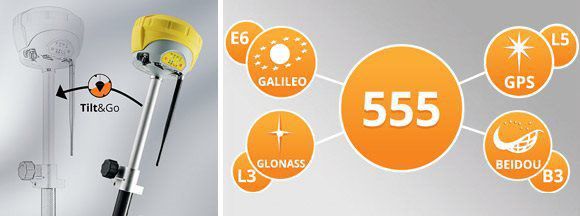
ZENITH35 PRO
Full spectrum of satellite signals, unlimited connectivity and the unique Tilt&Go functionality all in a compact GNSS make the Zenith35 Pr...More
ZENITH25 PRO
With its internal radio and 3.75 G Penta band GSM, the full support of GPS, GLONASS, Galileo, BeiDou and SBAS systems ...More
ZENITH15
The GeoMax Zenith15 is a complete and fully integrated GNSS receiver, allowing tracking GPS and GLONASS systems. Available as GSM or GSM-U...More
PICPOINT
Enhance your GeoMax GNSS sensor with “PicPoint” to a solution, increasing your performance and flexibility. With the “PicPoint” you can ea...More
Pipe Lasers:
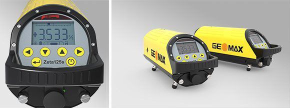
ZETA125 SERIES
With functional and versatile configuration, a full range of features and a tough design, the Zeta series fit all your needs, getting an error-free job done – no matter what the situation or the environmental conditions might be.
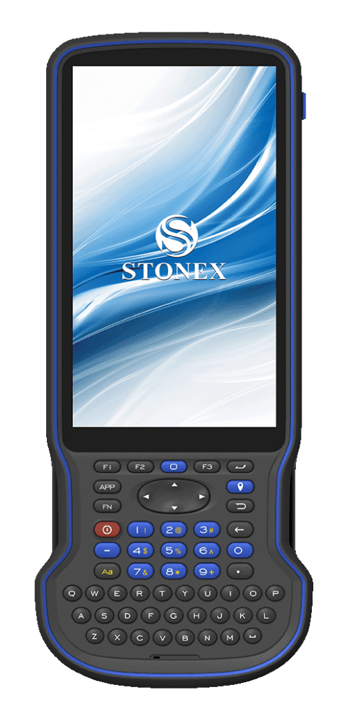
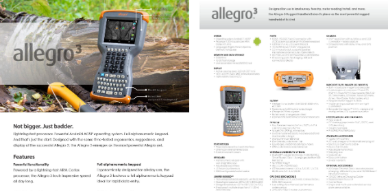
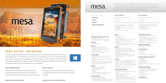
Field Controllers:
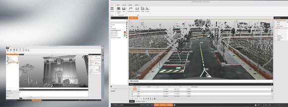
Software:
X-PAD MPS
All in one, because one is better A single software program adds up to a more efficient workflow. With X-PAD is possible to load data from total stations, GPS and laser scanners and calculate, view and manage it without having to export t...More
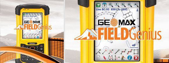
GEOMAX FIELDGENIUS
Digital terrain modeling, volumes and contouring FieldGenius has the ability to create & utilise DTM surfaces from existing survey data or create a DTM in real-time as the data is collected. The TIN and contours will automatically update ...More
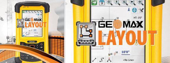
GEOMAX LAYOUT PRO
Contractor friendly Code-free linework Linework is created automatically No need to connect the dots back at the office Easy layout Stake points/lines by selecting the map screen. Select the points for staking, Layout ...More
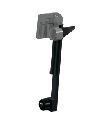
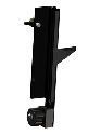
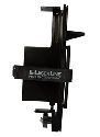
Locators:
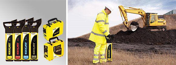
EZISYSTEM I-SERIES
Easily avoid buried cables and pipes before excavation work Every year site workers are injured and equipment damaged due to accidently st...More
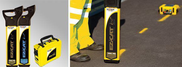
EZISYSTEM XF-SERIES
Easily locate and trace buried utilities over greater distances Every year site workers are injured and equipment dama...More
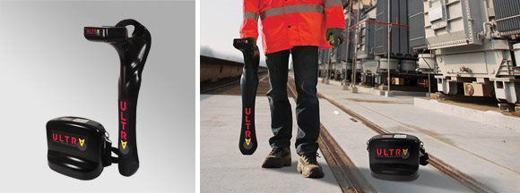
ULTRA SYSTEM
Easily locate cables and pipes with pinpoint accuracy
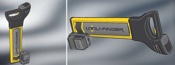
UTILI-FINDER
Simple and standard method of use Responds only to the Utili-Gen signal, conducted onto buried electricity cables and safety bonded conduc...More
SCHONSTEDT
First Order Survey Repair sells and services Schonstedt products & Accessories. If you do not find something you're looking for please call us.
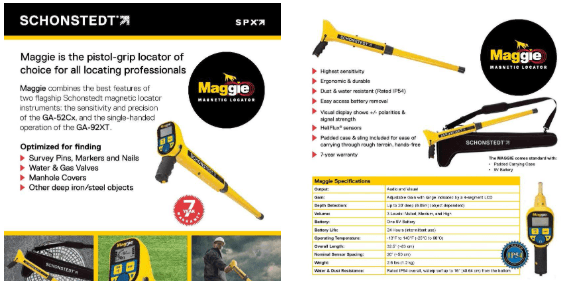
Schonstedt GA-52Cx Magnetic Locator

First Order Survey Repair sells and services IDIG Machine Control Equipment IN 2D OR 3D If you do not find something you're looking for, please call us.
First Order Survey Repair sells and services SitePro products & Accessories. SitePro has an extensive line of Accessories including Prism Poles, Tri-Pods, Leveling Rods, Bi-Pods, measuring tapes, and many more items. If you do not find something you're looking for please call us.

David White LT8-300P Universal Optical Level Transit, with Optical Plummet
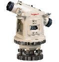
David White LT8-300LP Universal Optical Level Transit, with Laser Plummet
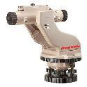
David White LT8-300LTU 26-Power Universal Optical Line Transit Unit

David White LT8-300 Universal Optical Level Transit
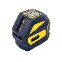
LL2CL Cross Line Laser
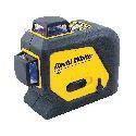
LL360P 360-Degree Alignment Line Laser
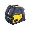
PL5CL-5-Point Alignment and Cross Line Laser

First Order Survey Repair sells and services LaserLine products & Accessories. If you do not find something you're looking for please call us.
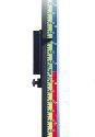
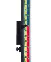
GR1000 Grade Rod
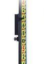
GR1000I Grade Rod
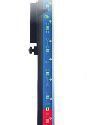
GR1000ICF Grade Rod
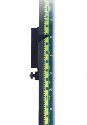
GR1000IT Grade Rod
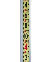
GR10I Grade Rod-Optical
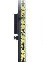
GR1000M Grade Rod
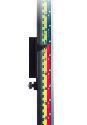
GR1000MCF Grade Rod
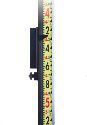
GR1000IT Grade Rod
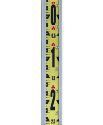
GR10T Grade Rod - Optical
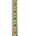
GR10T Grade Rod - Optical
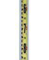
GR1450 Grade Rod
GR1450M Grade Rod
GR15M Grade Rod-Optical
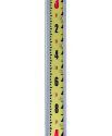
GR15T Grade Rod-Optical
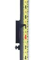
GR1450T Grade Rod
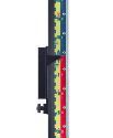
GR1450MCF Grade Rod
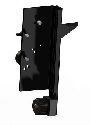
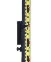
LaserLine B-1 Laser Detector Backet
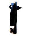
LaserLine B1-LA Laser Detector Bracket
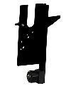
LaserLine B1-LS70-80 Laser Detector Bracket
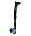
LaserLine B1-T Laser Detector Bracket
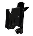
LaserLine B-550 Laser Detector Bracket
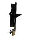
LaserLine B-L CA Laser Detector Bracket
LaserLine B-LT Laser Detector Bracket
LaserLine B-STORM Laser Detector Bracket
LaserLine UB-1 Laser Detector Bracket

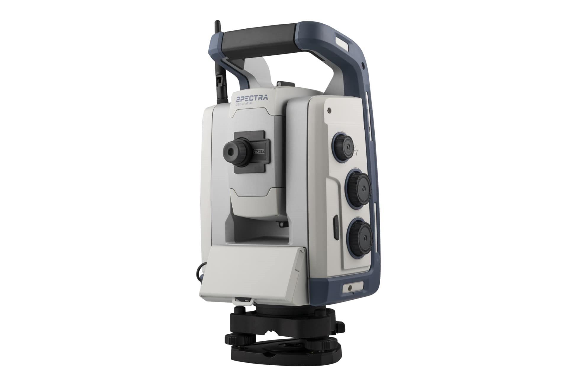
First Order Survey Repair sells and services Spectra Precision products & Accessories. If you do not find something you're looking for please call us.

First Order Survey Repair sells and services TopCon products & Accessories. If you do not find something you're looking for please call us.